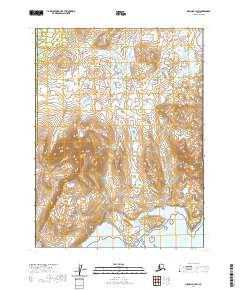
2020 Map of Iliamna B-3 NW
USGS Topo · Published 2020About this map
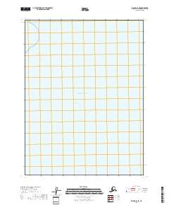
The northern slopes of the Aleutian Range dominate this 2020 landscape, where the mountains descend toward the sprawling waters of Kokhanok Lake at the quadrangle's northwestern corner. This territory straddles the boundary between the Lake and Peninsula and Kenai Peninsula Boroughs, showing a wilderness shaped by high-elevation relief and complex hydrology. The terrain is defined by dramatic elevation changes, most notably at Big Hill, which rises above the surrounding valleys. The mapping reveals a sparse environment where natural landmarks serve as the primary identifiers across the townships of t8s r28w, t8s r27w, and t9s r28w. For those studying the geography of southwest Alaska, this survey provides precise detail on the unpopulated reaches and glacier-carved topography of the peninsula.
Find a feature on this map
8 named features on this map. Tap any name to fly to it.
Don’t see what you’re looking for? This feature index may not catch every label — zoom into the map to look around manually.
Map Details
Editions of this 2020 Iliamna B-3 NW Map
This is the sole edition of this map. No revisions or reprints were ever made.
Other maps of this area

1952 · Iliamna
USGS Topo · 1:250,000

1954 · Iliamna C-3
USGS Topo · 1:63,360

1954 · Iliamna B-3
USGS Topo · 1:63,360

1954 · Iliamna C-4
USGS Topo · 1:63,360

1954 · Iliamna B-4
USGS Topo · 1:63,360

1957 · Iliamna
USGS Topo · 1:250,000
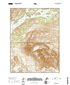
2018 · Iliamna B-4 NE
USGS Topo · 1:25,000
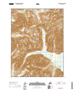
2018 · Iliamna C-3 SE
USGS Topo · 1:25,000
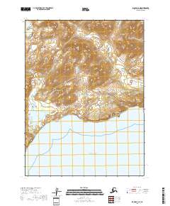
2018 · Iliamna B-3 NE
USGS Topo · 1:25,000
2018 · Iliamna B-3 SE
USGS Topo · 1:25,000