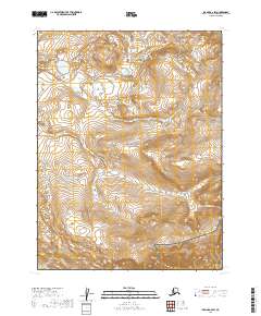
2019 Map of Iliamna A-6 SW
USGS Topo · Published 2019About this map
Katmai National Preserve and Katmai National Park divide this wilderness landscape in the Lake and Peninsula Borough. The transition between these two protected areas is marked by the path of Nanuktuk Cr, which flows through a terrain defined by significant elevation changes and the rigid grid of the Public Land Survey System. The map documentation includes the boundaries of t12s r35w, t13s r35w, and t13s r36w, providing a precise look at the jurisdictional lines that separate the National Park from the National Preserve during this era of conservation. The absence of roads or established settlements emphasizes the remote character of this Alaskan interior, where the primary landmarks are natural watercourses and the topography itself.
Find a feature on this map
7 named features on this map. Tap any name to fly to it.
Don’t see what you’re looking for? This feature index may not catch every label — zoom into the map to look around manually.
Map Details
Editions of this 2019 Iliamna A-6 SW Map
This is the sole edition of this map. No revisions or reprints were ever made.
Other maps of this area

1948 · Mt Katmai
USGS Topo · 1:250,000

1951 · Mt Katmai
USGS Topo · 1:250,000

1951 · Iliamna A-7
USGS Topo · 1:63,360

1951 · Mount Katmai D-4
USGS Topo · 1:63,360

1951 · Iliamna A-6
USGS Topo · 1:63,360

1952 · Iliamna
USGS Topo · 1:250,000

1957 · Iliamna
USGS Topo · 1:250,000

1964 · Mt. Katmai
USGS Topo · 1:250,000
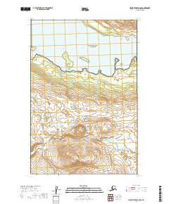
2019 · Mount Katmai D-4 NW
USGS Topo · 1:25,000
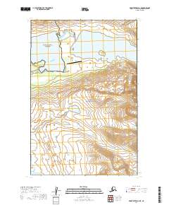
2019 · Mount Katmai D-4 NE
USGS Topo · 1:25,000