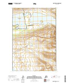
2019 Map of Mount Katmai D-4 NE
USGS Topo · Published 2019About this map
Kulik Lake and Nonvianuk Lake dominate the northern landscape of this wilderness region, where the boundaries of Katmai National Preserve and Katmai National Park meet. The presence of the Kulik Lake Airport on the southern shore of the lake indicates the vital role of bush aviation in accessing this roadless interior of the Alaska Peninsula. High relief characterizes the eastern portion of the sheet, culminating at the summit of Oakley Peak, while the drainage systems of American Creek and Hammersly Lake define the southwest corner. The map documents the vast, undeveloped state of the Lake and Peninsula Borough as it remained in the early 21st century, showing no established roads or settlements outside of the remote airfield infrastructure.
Find a feature on this map
12 named features on this map. Tap any name to fly to it.
Don’t see what you’re looking for? This feature index may not catch every label — zoom into the map to look around manually.
Map Details
Editions of this 2019 Mount Katmai D-4 NE Map
This is the sole edition of this map. No revisions or reprints were ever made.
Other maps of this area

1948 · Mt Katmai
USGS Topo · 1:250,000

1951 · Mt Katmai
USGS Topo · 1:250,000

1951 · Mount Katmai D-4
USGS Topo · 1:63,360

1951 · Mount Katmai D-3
USGS Topo · 1:63,360

1951 · Iliamna A-6
USGS Topo · 1:63,360

1952 · Iliamna
USGS Topo · 1:250,000

1957 · Iliamna
USGS Topo · 1:250,000

1964 · Mt. Katmai
USGS Topo · 1:250,000
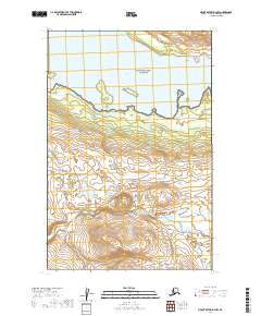
2019 · Mount Katmai D-4 NW
USGS Topo · 1:25,000
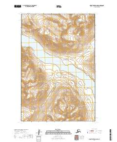
2019 · Mount Katmai D-3 NW
USGS Topo · 1:25,000