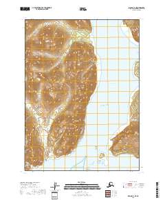
2018 Map of Iliamna C-2 NE
USGS Topo · Published 2018About this map
The Iniskin Peninsula juts into the cold waters of the Pacific Ocean, forming a complex shoreline of bays and rocky outcroppings. This coastal landscape is dominated by the steep elevations of the Back Range and the sheltered waters of Iniskin Bay. The map highlights several distinct maritime landmarks, including the curiously named The Toadstools and a series of small landforms like Mushroom Islands and Scott Island that dot the entrance to the bay. Along the western edge of the inlet, Knoll Head and North Head stand as prominent coastal markers. The absence of roads or permanent settlements emphasizes the wilderness character of this region, where drainage is defined by short coastal runs such as Pomeroy Cr and Keystone Cr.
Find a feature on this map
19 named features on this map. Tap any name to fly to it.
Don’t see what you’re looking for? This feature index may not catch every label — zoom into the map to look around manually.
Map Details
Editions of this 2018 Iliamna C-2 NE Map
This is the sole edition of this map. No revisions or reprints were ever made.
Other maps of this area

1949 · Iliamna C-1
USGS Topo · 1:63,360

1952 · Iliamna
USGS Topo · 1:250,000

1957 · Iliamna
USGS Topo · 1:250,000

1958 · Iliamna D-2
USGS Topo · 1:63,360

1958 · Iliamna C-2
USGS Topo · 1:63,360

1958 · Iliamna D-1
USGS Topo · 1:63,360

1958 · Iliamna C-1
USGS Topo · 1:63,360
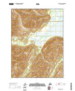
2018 · Iliamna D-1 SW
USGS Topo · 1:25,000
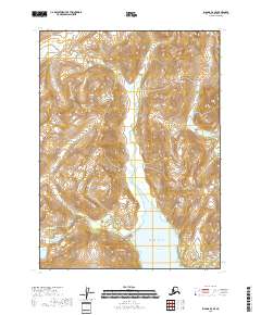
2018 · Iliamna D-2 SE
USGS Topo · 1:25,000

2018 · Iliamna D-2 SW
USGS Topo · 1:25,000