
2018 Map of Iliamna D-2 SW
USGS Topo · Published 2018About this map
Iliamna River meanders across this interior landscape on the border of the Kenai Peninsula Borough and the Lake and Peninsula Borough. The terrain is characterized by high-elevation ridges and deep valleys, captured in this 2018 survey with eighty-foot contour intervals that detail the complex alpine topography. The primary drainage of the Iliamna River cuts through the center of the sheet, providing a natural corridor through the surrounding peaks. This map serves as a contemporary record of the uninhabited wilderness near the transition between the Aleutian Range and the Kenai mountains, documenting the hydrologic patterns and administrative boundaries of the region in the early twenty-first century.
Find a feature on this map
8 named features on this map. Tap any name to fly to it.
Don’t see what you’re looking for? This feature index may not catch every label — zoom into the map to look around manually.
Map Details
Editions of this 2018 Iliamna D-2 SW Map
This is the sole edition of this map. No revisions or reprints were ever made.
Other maps of this area

1952 · Iliamna
USGS Topo · 1:250,000

1954 · Iliamna D-3
USGS Topo · 1:63,360

1954 · Iliamna C-3
USGS Topo · 1:63,360

1957 · Iliamna
USGS Topo · 1:250,000

1958 · Iliamna D-2
USGS Topo · 1:63,360

1958 · Iliamna C-2
USGS Topo · 1:63,360
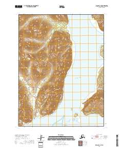
2018 · Iliamna C-2 NE
USGS Topo · 1:25,000
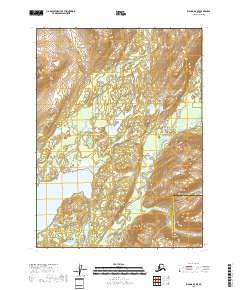
2018 · Iliamna D-3 SE
USGS Topo · 1:25,000
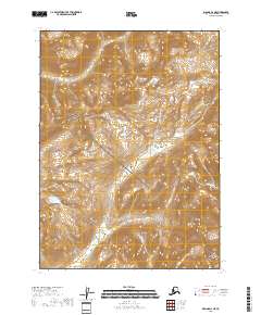
2018 · Iliamna D-2 NE
USGS Topo · 1:25,000
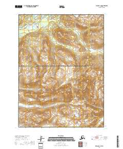
2018 · Iliamna C-3 NE
USGS Topo · 1:25,000