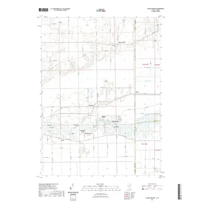
2021 Map of Illiana Heights
USGS Topo · Published 2021About this map
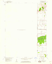
The Kankakee River corridor defines the southern half of this modern survey, where numerous small communities and recreational camps are clustered along its banks. Distinctive settlements such as Illiana Heights, Log Cabin Camp, and the evocative Garden of Eden sit among a landscape of wetlands including Cantway Slough and Vails Island. This area, situated right on the state line, shows the persistent importance of water management in the region, evidenced by an extensive network of drainage features like Singleton Ditch and Williams Ditch.
Find a feature on this map
80 named features on this map. Tap any name to fly to it.
Don’t see what you’re looking for? This feature index may not catch every label — zoom into the map to look around manually.
Map Details
Editions of this 2021 Illiana Heights Map
This is the sole edition of this map. No revisions or reprints were ever made.
Other maps of this area
1922 · Momence
USGS Topo · 1:62,500
1924 · Momence
USGS Topo · 1:62,500
1949 · Crete
USGS Topo · 1:62,500
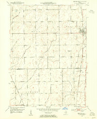
1953 · Beecher West
USGS Topo · 1:24,000
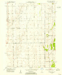
1953 · Beecher East
USGS Topo · 1:24,000
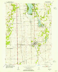
1953 · Lowell
USGS Topo · 1:24,000

1953 · Chicago
USGS Topo · 1:250,000

1957 · Chicago
USGS Topo · 1:250,000
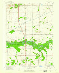
1959 · Schneider
USGS Topo · 1:24,000
1959 · Momence NE
USGS Topo · 1:24,000