
1951 Map of Illipah
USGS Topo · Published 1952About this map
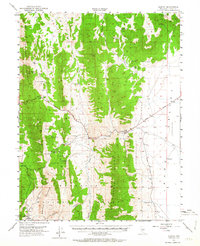
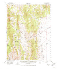
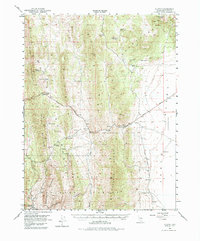
Hamilton (Historic Ruins) sits in the southwestern corner of this survey, marking the site of a once-thriving mining center at the base of the Mokomoke Mountains. The landscape is dominated by the north-south orientations of the Butte Mountains, Pancake Range, and Moorman Ridge, creating a series of high-altitude corridors utilized by early transportation routes. The Lincoln Highway cuts across the central terrain, passing through Little Antelope Summit and by Illipah (Moorman Ranch), a vital stop for travelers in this arid region.
Find a feature on this map
34 named features on this map. Tap any name to fly to it.
Don’t see what you’re looking for? This feature index may not catch every label — zoom into the map to look around manually.
Map Details
Editions of this 1951 Illipah Map
4 editions found
Other maps of this area

1949 · Treasure Hill
USGS Topo · 1:62,500

1950 · Treasure Hill
USGS Topo · 1:62,500

1951 · Green Springs
USGS Topo · 1:62,500

1951 · Pancake Summit
USGS Topo · 1:62,500

1956 · Ely
USGS Topo · 1:250,000

1957 · Buck Mountain
USGS Topo · 1:62,500

1959 · Ely
USGS Topo · 1:250,000

1959 · Reipetown
USGS Topo · 1:62,500

1959 · Preston Reservoir
USGS Topo · 1:62,500

1963 · Ely
USGS Topo · 1:250,000