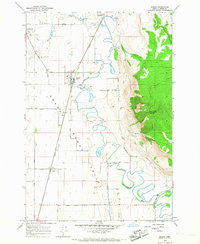
1965 Map of Imbler
USGS Topo · Published 1967About this map
The Grande Ronde River meanders through this portion of the Grande Ronde Valley, defining a landscape of intensive agriculture and small-town junctions in the mid-1960s. The Union Pacific railroad acts as a primary corridor through the valley floor, connecting the agricultural hubs of Imbler and Alicel. To the west, the settlement of Summerville sits near a local Mill on Willow Creek, while the eastern horizon is dominated by the steep ascent of Mount Harris.
Find a feature on this map
35 named features on this map. Tap any name to fly to it.
Don’t see what you’re looking for? This feature index may not catch every label — zoom into the map to look around manually.
Map Details
Editions of this 1965 Imbler Map
2 editions found
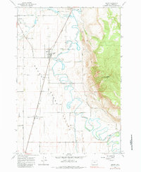
Other maps of this area

1906 · Telocaset
USGS Topo · 1:125,000

1953 · Pendleton
USGS Topo · 1:250,000

1955 · Grangeville
USGS Topo · 1:250,000

1956 · Pendleton
USGS Topo · 1:250,000

1959 · Grangeville
USGS Topo · 1:250,000

1963 · La Grande SE
USGS Topo · 1:24,000

1963 · Sanderson Spring
USGS Topo · 1:24,000

1963 · Summerville
USGS Topo · 1:24,000

1964 · Cricket Flat
USGS Topo · 1:24,000

1964 · Elgin
USGS Topo · 1:24,000