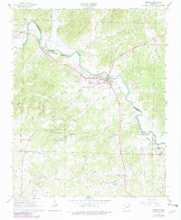
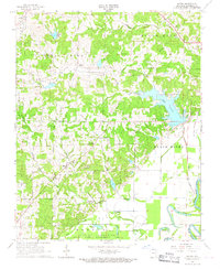
1966 Map of Imboden
USGS Topo · Published 1982About this map
The Spring River winds through the borderlands of Randolph and Lawrence Counties, anchoring a landscape defined by small river-town settlements and upland springs. In the mid-1960s, Imboden stands as a primary hub where the Burlington Northern railroad crosses the water, supported by infrastructure like the Gaging Station and the Water Tank. To the southwest, the community of Annieville is situated near Pleasant Grove Ch, while family histories are preserved at rural sites like Holobaugh Cem and Janes Cem. Topographic details reveal the importance of local water sources, from Wayland Spring and its adjacent Wayland Spring Camp to the church at Clear Spring Ch. The map also documents the era's industrial footprint through numerous Quarries and the Imboden Lookout Tower, which provided a critical vantage point over the timbered hollows and creek valleys that feed into the main river system.
Find a feature on this map
51 named features on this map. Tap any name to fly to it.
Don’t see what you’re looking for? This feature index may not catch every label — zoom into the map to look around manually.
Map Details
Editions of this 1966 Imboden Map
2 editions found
Other maps of this area

1934 · Powhatan
USGS Topo · 1:62,500

1935 · Powhatan
USGS Topo · 1:62,500

1957 · Poplar Bluff
USGS Topo · 1:250,000

1959 · Poplar Bluff
USGS Topo · 1:250,000

1960 · Poplar Bluff
USGS Topo · 1:250,000
1965 · Smithville
USGS Topo · 1:24,000

1966 · Ravenden Springs
USGS Topo · 1:24,000
1966 · Ravenden Springs SE
USGS Topo · 1:24,000
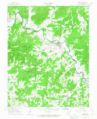
1966 · Imboden
USGS Topo · 1:24,000
1966 · Eaton
USGS Topo · 1:24,000