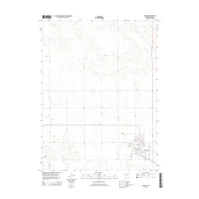
2014 Map of Imperial
USGS Topo · Published 2014About this map
The city of Imperial serves as the focal point of this 2014 survey in Chase County, showing the intersection of local grid roads and the town's residential expansion. High plains topography is defined by the ephemeral drainage of Spring Cr in the northeast and Sand Draw to the southwest, while the town itself is mapped in street-level detail. Significant local landmarks include Mt Hope Cem, situated just northwest of the primary residential blocks. The survey highlights a transition from the structured municipal layout of streets like Grant St and Wellington St to the surrounding agricultural section lines, marked by routes such as 739 RD and 333 Ave.
Find a feature on this map
40 named features on this map. Tap any name to fly to it.
Don’t see what you’re looking for? This feature index may not catch every label — zoom into the map to look around manually.
Map Details
Editions of this 2014 Imperial Map
This is the sole edition of this map. No revisions or reprints were ever made.
Other maps of this area

1954 · McCook
USGS Topo · 1:250,000

1957 · McCook
USGS Topo · 1:250,000

1958 · McCook
USGS Topo · 1:250,000
1961 · Lamar NE
USGS Topo · 1:24,000
1973 · Champion
USGS Topo · 1:24,000
1973 · Chase
USGS Topo · 1:24,000
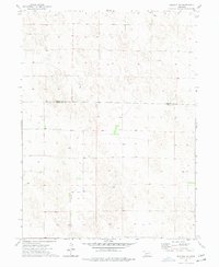
1973 · Imperial NE
USGS Topo · 1:24,000
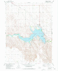
1973 · Enders
USGS Topo · 1:24,000
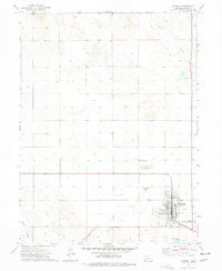
1973 · Imperial
USGS Topo · 1:24,000
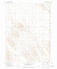
1973 · Imperial NW
USGS Topo · 1:24,000