Loading...
Loading map...2021 Map of Imperial
USGS Topo · Published 2021About this map
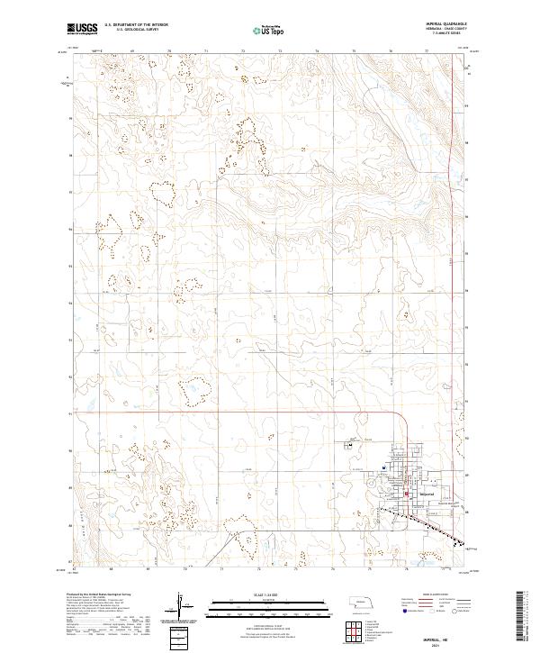
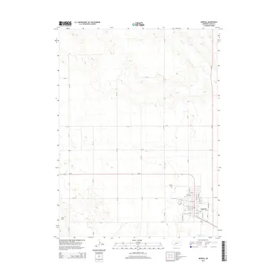
Imperial serves as the focal point of this southwestern Nebraska landscape, situated within a grid of section lines and rural routes that define the agricultural character of Chase County. The town layout is anchored by the Chase County Courthouse, with streets such as Broadway St and W Imperial St forming the commercial and civic core. To the northwest of the main settlement lies Mount Hope Cem, a site of significant genealogical interest.
Find a feature on this map
44 named features on this map. Tap any name to fly to it.
Don’t see what you’re looking for? This feature index may not catch every label — zoom into the map to look around manually.
Map Details
Date Portrayed2021
Date Published2021
PublisherU.S. Geological Survey
Map TypeTopographic
Scale1:24,000
Physical Dimensions24 x 29 inches
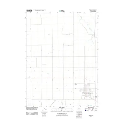
Editions of this 2021 Imperial Map
This is the sole edition of this map. No revisions or reprints were ever made.
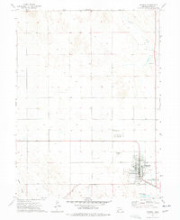
Historical Maps of Imperial Through Time
6 maps found
Featured Locations
Source Details
SourceU.S. Geological Survey
CopyrightPublic Domain