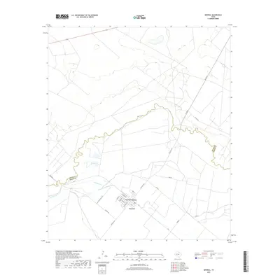
2019 Map of Imperial
USGS Topo · Published 2019About this map
The Pecos River carves a winding, serpentine path through this arid landscape, serving as the historical boundary between Crane and Pecos counties. Water management is the defining characteristic of this region, evidenced by an intricate network of irrigation infrastructure including the Highline Canal, the Imperial Canal, and Imperial Canal Number Five. These systems reflect the 21st-century efforts to sustain agriculture and settlement in the West Texas desert. The community of Imperial and the nearby Imperial Colonia form the primary residential hubs, organized along a grid of streets named for historical figures such as Washington St, Ferguson St, and Hoover St. Rural access is maintained through routes like Old Grand Falls Hwy and Cemetery Rd, while the oddly named Tiny Earp Rd provides a unique local reference point for researchers and genealogists.
Find a feature on this map
23 named features on this map. Tap any name to fly to it.
Don’t see what you’re looking for? This feature index may not catch every label — zoom into the map to look around manually.
Map Details
Editions of this 2019 Imperial Map
This is the sole edition of this map. No revisions or reprints were ever made.
Other maps of this area

1954 · Pecos
USGS Topo · 1:250,000
1957 · Pecos
USGS Topo · 1:250,000
1969 · Ozark Lake
USGS Topo · 1:24,000
1969 · Grandfalls
USGS Topo · 1:24,000
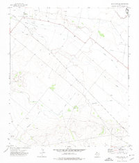
1972 · Buena Vista NE
USGS Topo · 1:24,000
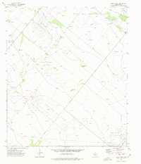
1972 · Buena Vista
USGS Topo · 1:24,000
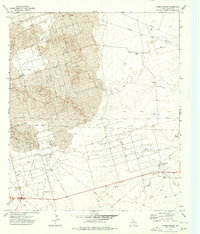
1974 · Tubbs Corner
USGS Topo · 1:24,000
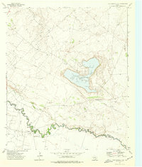
1974 · Juan Cordona Lake
USGS Topo · 1:24,000
1974 · Diamond Y Spring NE
USGS Topo · 1:24,000
1974 · Imperial NW
USGS Topo · 1:24,000