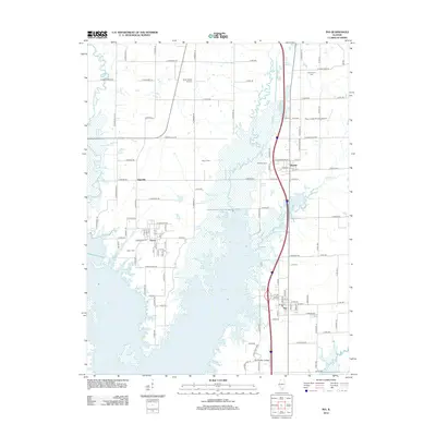
2012 Map of Ina
USGS Topo · Published 2012About this map
Rend Lake dominates the southern half of this Jefferson County landscape, its sprawling waters and inlets reshaping the geography near Ina and Nason. The map reflects a community defined by its proximity to the water and its agricultural roots, with several rural cemeteries such as Cub Prairie Cem and South Hickory Hill Cem marking the historic settlement of the region. Local infrastructure is anchored by Rend Lake College in the south, while further north, the small community of Bonnie and the Holiness Camp sit near the winding course of Casey Fork. The area’s aviation history is represented by the Davy Jones (Private) Airport, and the grid of rural roads like Co Hwy-13 links these dispersed residential centers and family landmarks across the Illinois plains.
Find a feature on this map
90 named features on this map. Tap any name to fly to it.
Don’t see what you’re looking for? This feature index may not catch every label — zoom into the map to look around manually.
Map Details
Editions of this 2012 Ina Map
This is the sole edition of this map. No revisions or reprints were ever made.
Other maps of this area

1926 · Duquoin
USGS Topo · 1:62,500

1933 · Mount Vernon
USGS Topo · 1:48,000

1939 · Ina
USGS Topo · 1:62,500

1940 · Mount Vernon
USGS Topo · 1:62,500

1943 · Ina
USGS Topo · 1:62,500

1943 · Ashley
USGS Topo · 1:62,500

1946 · Ashley
USGS Topo · 1:62,500

1958 · Belleville
USGS Topo · 1:250,000

1962 · Belleville
USGS Topo · 1:250,000

1964 · Opdyke
USGS Topo · 1:24,000