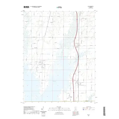
2021 Map of Ina
USGS Topo · Published 2021About this map
The Big Muddy River winds through this Jefferson County landscape, anchoring a region defined by its dispersed settlements and rural infrastructure. The communities of Ina, Bonnie, Nason, and Dareville are connected by a grid of county roads, showing the persistent residential patterns of Southern Illinois. This area is notably home to Rend Lake College, situated near the southern boundary, and the large Mine Number 21 Reservoir, which reflects the industrial history of the local coalfields.
Find a feature on this map
44 named features on this map. Tap any name to fly to it.
Don’t see what you’re looking for? This feature index may not catch every label — zoom into the map to look around manually.
Map Details
Editions of this 2021 Ina Map
This is the sole edition of this map. No revisions or reprints were ever made.
Other maps of this area

1926 · Duquoin
USGS Topo · 1:62,500

1933 · Mount Vernon
USGS Topo · 1:48,000

1939 · Ina
USGS Topo · 1:62,500

1940 · Mount Vernon
USGS Topo · 1:62,500

1943 · Ina
USGS Topo · 1:62,500

1943 · Ashley
USGS Topo · 1:62,500

1946 · Ashley
USGS Topo · 1:62,500

1958 · Belleville
USGS Topo · 1:250,000

1962 · Belleville
USGS Topo · 1:250,000

1964 · Opdyke
USGS Topo · 1:24,000