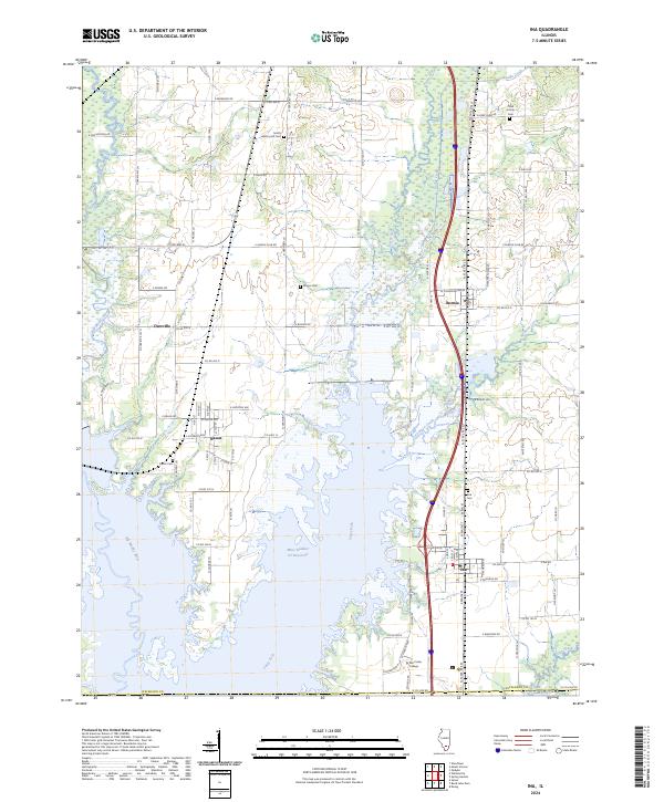
2024 Map of Ina
USGS Topo · Published 2024About this map
The Big Muddy River and Casey Fork define this portion of Jefferson County, where the landscape is increasingly shaped by the waters feeding into the regional reservoir system. The presence of the Mine Number 21 Reservoir near the settlement of Ina points to the area's industrial heritage, while the established campus of Rend Lake College serves as a modern institutional anchor in the southern portion of the quadrangle. Smaller rural communities like Nason, Bonnie, and Dareville are connected by a grid of secondary roads such as N State Rte 37. Genealogists will find several family and community burial sites scattered throughout the agricultural and riparian lands, including Hickory Hill Cem, Abner Cem, and Kirk Cem. The landscape transitions from the open spaces of Cubb Prairie in the northeast to the dense hydrography of Atchison Creek and Dodds Creek.
Find a feature on this map
96 named features on this map. Tap any name to fly to it.
Don’t see what you’re looking for? This feature index may not catch every label — zoom into the map to look around manually.
Map Details
Editions of this 2024 Ina Map
This is the sole edition of this map. No revisions or reprints were ever made.
Other maps of this area

1926 · Duquoin
USGS Topo · 1:62,500

1933 · Mount Vernon
USGS Topo · 1:48,000

1939 · Ina
USGS Topo · 1:62,500

1940 · Mount Vernon
USGS Topo · 1:62,500

1943 · Ina
USGS Topo · 1:62,500

1943 · Ashley
USGS Topo · 1:62,500

1946 · Ashley
USGS Topo · 1:62,500

1958 · Belleville
USGS Topo · 1:250,000

1962 · Belleville
USGS Topo · 1:250,000

1964 · Opdyke
USGS Topo · 1:24,000