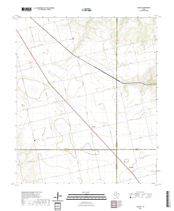
2022 Map of Inadale
USGS Topo · Published 2022About this map
The high plains of West Texas converge at a rare four-county junction on this map, where Scurry, Mitchell, Fisher, and Nolan counties meet. This ranching and agricultural landscape is anchored by the small settlements of Inadale and Wastella, which sit along a primary transportation corridor cutting diagonally across the territory. The geography is defined by intermittent drainage systems, most notably Buffalo Creek and Linn Creek, which carve subtle relief into the terrain.
Find a feature on this map
52 named features on this map. Tap any name to fly to it.
Don’t see what you’re looking for? This feature index may not catch every label — zoom into the map to look around manually.
Map Details
Editions of this 2022 Inadale Map
This is the sole edition of this map. No revisions or reprints were ever made.
Other maps of this area

1952 · China Grove
USGS Topo · 1:24,000

1952 · Colorado City
USGS Topo · 1:24,000

1952 · Hermleigh
USGS Topo · 1:24,000

1954 · Big Spring
USGS Topo · 1:250,000

1958 · Big Spring
USGS Topo · 1:250,000

1969 · Bull Creek
USGS Topo · 1:24,000

1969 · Inadale NW
USGS Topo · 1:24,000

1969 · Loraine
USGS Topo · 1:24,000

1969 · Bernecker
USGS Topo · 1:24,000

1969 · Roscoe
USGS Topo · 1:24,000