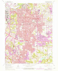
1964 Map of Independence
USGS Topo · Published 1976About this map
Independence and the eastern reaches of Kansas City are defined by an intricate mesh of rail lines and residential expansion in the mid-1970s. The industrial corridors along the Blue River and the Missouri River showcase a landscape shaped by heavy transport, where the Kansas City Southern Ry and Missouri Pacific RR intersect at Rock Creek Junction. This era captures the transition of the region from established streetcar suburbs like Fairmount and Maywood to the suburban density of Raytown and Englewood.
Find a feature on this map
109 named features on this map. Tap any name to fly to it.
Don’t see what you’re looking for? This feature index may not catch every label — zoom into the map to look around manually.
Map Details
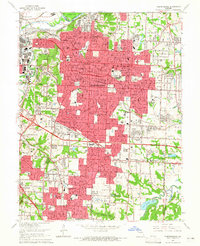
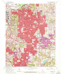
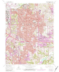
Editions of this 1964 Independence Map
4 editions found
Other maps of this area

1887 · Harrisonville
USGS Topo · 1:125,000

1887 · Olathe
USGS Topo · 1:125,000

1890 · Kansas City
USGS Topo · 1:125,000

1892 · Harrisonville
USGS Topo · 1:125,000

1893 · Olathe
USGS Topo · 1:125,000

1894 · Kansas City
USGS Topo · 1:125,000

1894 · Harrisonville
USGS Topo · 1:125,000

1894 · Independence
USGS Topo · 1:125,000

1933 · Blue Springs
USGS Topo · 1:24,000

1934 · Independence
USGS Topo · 1:24,000