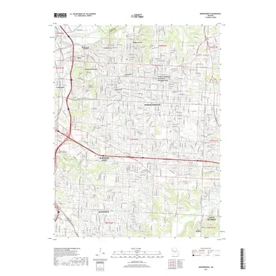
1964 Map of Independence
USGS Topo · Published 1965About this map
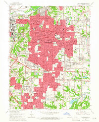
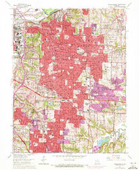
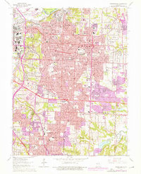
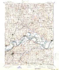
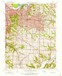
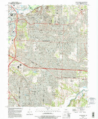
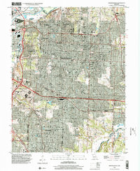
The Missouri River forms the northern boundary of this mid-1960s landscape, where industrial and suburban expansion meet established neighborhoods like Fairmount, Maywood, and Sugar Creek. The dense urban footprint of Independence dominates the center, characterized by an extensive network of neighborhood schools including Columbian Sch and Southwest Sch. A complex industrial and transportation hub is evident at Air Line Junction, where the Blue River valley is crisscrossed by several major rail lines including the Kansas City Southern and Missouri Pacific.
Find a feature on this map
107 named features on this map. Tap any name to fly to it.
Don’t see what you’re looking for? This feature index may not catch every label — zoom into the map to look around manually.
Map Details
Editions of this 1964 Independence Map
4 editions found
Historical Maps of Kansas City Through Time
11 maps found
1894 Independence
Jackson County, MO
1934 Independence
Jackson County, MO
1940 Independence
Jackson County, MO
1957 Independence
Jackson County, MO
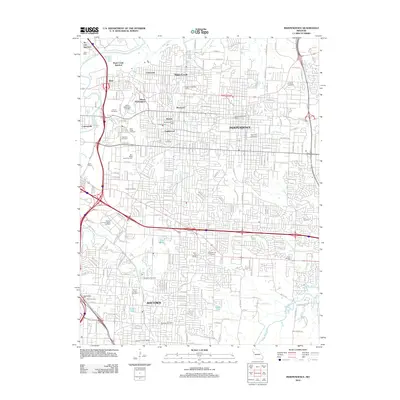
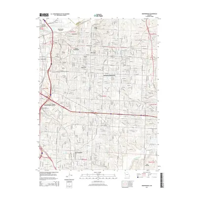
1964 Independence
Jackson County, MO
1990 Independence
Jackson County, MO
1996 Independence
Jackson County, MO
2012 Independence
Jackson County, MO
2015 Independence
Jackson County, MO
2017 Independence
Jackson County, MO
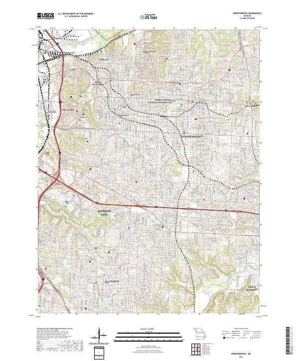
2021 Independence
Jackson County, MO