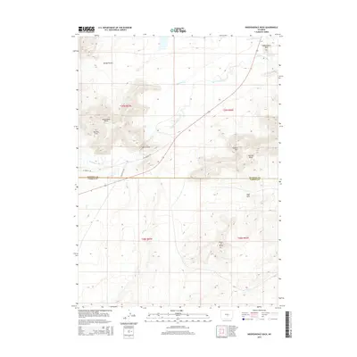
2015 Map of Independence Rock
USGS Topo · Published 2015About this map
Independence Rock stands as the landmark anchor for this Wyoming landscape, positioned along the banks of the Sweetwater River. The terrain here is defined by significant granite formations and historical passage, most notably the path of the W Oregon Trl which traverses the valley floor. The map highlights the narrow gap of Devils Gate and the secluded area of Martins Cove, locations deeply tied to the history of Western migration and the Oregon Trail.
Find a feature on this map
20 named features on this map. Tap any name to fly to it.
Don’t see what you’re looking for? This feature index may not catch every label — zoom into the map to look around manually.
Map Details
Editions of this 2015 Independence Rock Map
This is the sole edition of this map. No revisions or reprints were ever made.
Other maps of this area
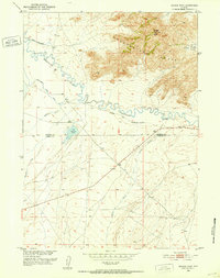
1951 · Savage Peak
USGS Topo · 1:24,000
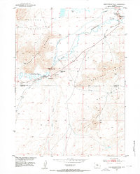
1951 · Independence Rock
USGS Topo · 1:24,000
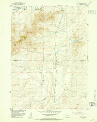
1951 · Fort Ridge
USGS Topo · 1:24,000
1953 · Buzzard Ranch
USGS Topo · 1:24,000
1953 · Spanish Mine
USGS Topo · 1:24,000

1955 · Casper
USGS Topo · 1:250,000

1958 · Casper
USGS Topo · 1:250,000
1959 · Sanford Ranch
USGS Topo · 1:24,000
1959 · Miller Spring
USGS Topo · 1:24,000
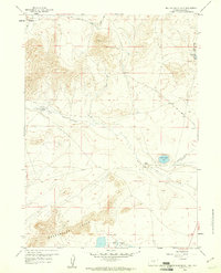
1959 · Beulah Belle Lake
USGS Topo · 1:24,000