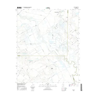
2016 Map of India
USGS Topo · Published 2016About this map
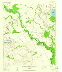
The Trinity River and its complex network of oxbows and seasonal waterways define the boundary lines of three Texas counties on this 2016 survey. Near the convergence of Dallas, Ellis, and Kaufman counties, the landscape is marked by the sprawling Bois D'Arc Island and the meandering Parsons Slough. The rural character of the region remains evident through the preservation of historic family and community landmarks, such as Pruitt Cem and Grange Hill Cem.
Find a feature on this map
89 named features on this map. Tap any name to fly to it.
Don’t see what you’re looking for? This feature index may not catch every label — zoom into the map to look around manually.
Map Details
Editions of this 2016 India Map
This is the sole edition of this map. No revisions or reprints were ever made.
Other maps of this area
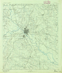
1891 · Dallas
USGS Topo · 1:125,000
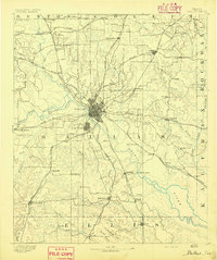
1893 · Dallas
USGS Topo · 1:125,000

1954 · Dallas
USGS Topo · 1:250,000
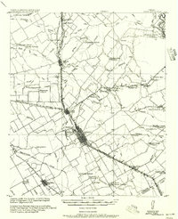
1956 · Ennis
USGS Topo · 1:62,500
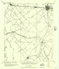
1956 · Kaufman
USGS Topo · 1:62,500

1958 · Dallas
USGS Topo · 1:250,000
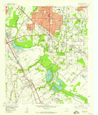
1958 · Hutchins
USGS Topo · 1:24,000
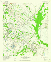
1959 · Seagoville
USGS Topo · 1:24,000
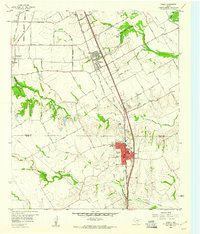
1959 · Ferris
USGS Topo · 1:24,000
1959 · India
USGS Topo · 1:24,000