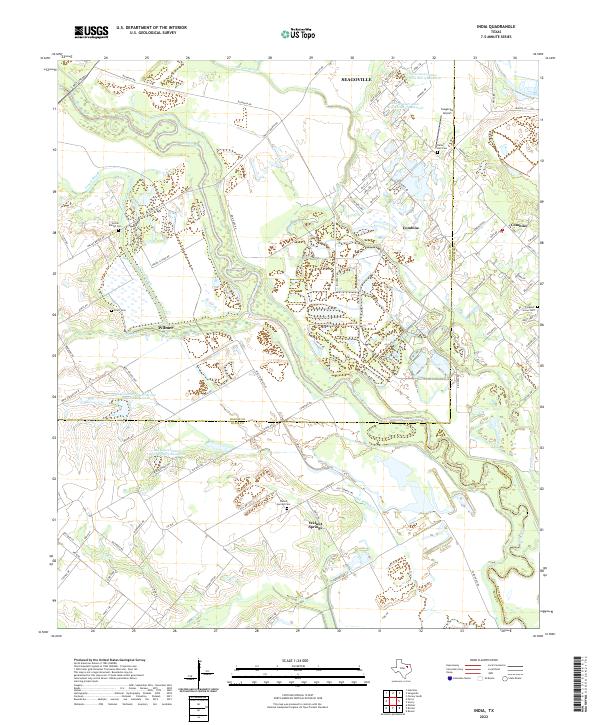
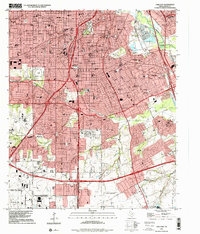
2022 Map of India
USGS Topo · Published 2022This historical map portrays the area of India in 2022, primarily covering Dallas County as well as portions of Ellis County and Kaufman County. Featuring a scale of 1:24000, this map provides a highly detailed snapshot of the terrain, roads, buildings, counties, and historical landmarks in the India region at the time. Published in 2022, it is the sole known edition of this map.
Map Details
Editions of this 2022 India Map
This is the sole edition of this map. No revisions or reprints were ever made.
Historical Maps of India Through Time
11 maps found
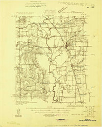
1925 Dallas 2-b
Dallas County, TX
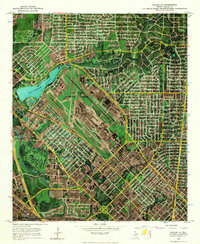
1957 White Rock Lake
Dallas County, TX
1958 Oak Cliff
Dallas County, TX
1958 White Rock Lake
Dallas County, TX
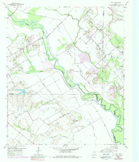
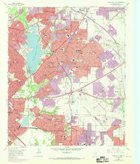
1959 India
Dallas County, TX
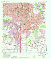
1968 Dallas (A)
Dallas County, TX
1995 Oak Cliff
Dallas County, TX
1995 White Rock Lake
Dallas County, TX
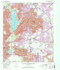
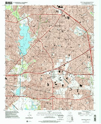
2022 India
Dallas County, TX
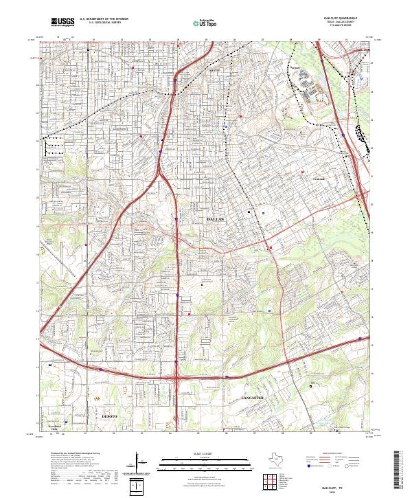
2022 Oak Cliff
Dallas County, TX
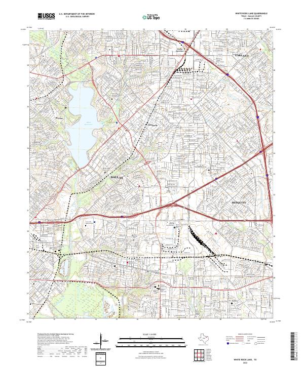
2022 White Rock Lake
Dallas County, TX