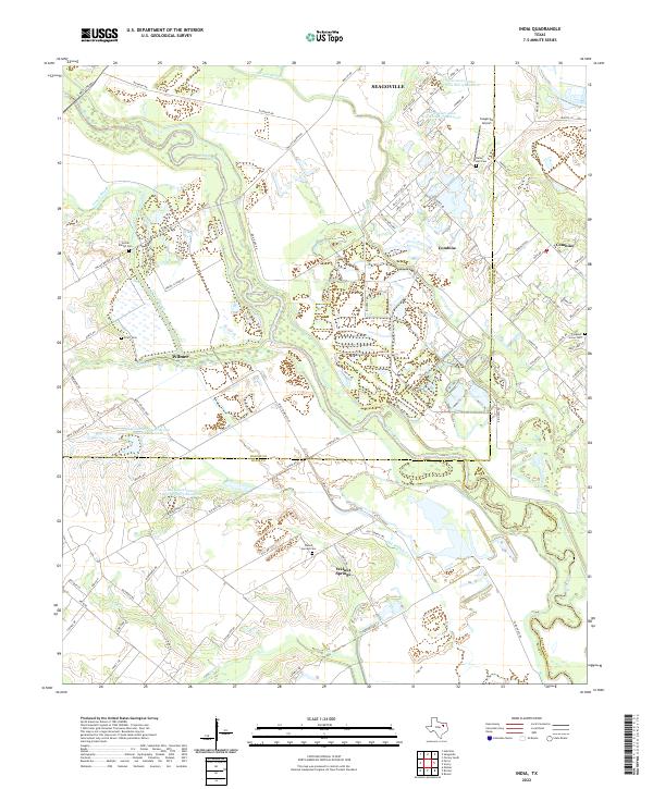
2022 Map of India
USGS Topo · Published 2022About this map
The Trinity River and its complex network of oxbows and backwaters, such as Parsons Slough and Gravel Slough, dominate this landscape at the intersection of Dallas, Ellis, and Kaufman counties. Small settlements and rural developments like Walnut Springs and Combine are spread across the low-lying terrain, often positioned near the numerous flood control projects such as the Soil Conservation Service Site 9 Reservoir. The area is notably dense with family and community burial grounds, including the Walnut Springs Cem, Pruitt Cem, and Rains Hall Cem, providing a clear spatial record for genealogical research in this part of North Texas. Aviation history is represented by the Seagoville Airport in the northeast, while the southern reaches show the divergence of Old Tenmile Cr and Ten Mile Cr as they feed into the primary river basin.
Find a feature on this map
89 named features on this map. Tap any name to fly to it.
Don’t see what you’re looking for? This feature index may not catch every label — zoom into the map to look around manually.
Map Details
Editions of this 2022 India Map
This is the sole edition of this map. No revisions or reprints were ever made.
Other maps of this area

1891 · Dallas
USGS Topo · 1:125,000

1893 · Dallas
USGS Topo · 1:125,000

1954 · Dallas
USGS Topo · 1:250,000

1956 · Ennis
USGS Topo · 1:62,500

1956 · Kaufman
USGS Topo · 1:62,500

1958 · Dallas
USGS Topo · 1:250,000

1958 · Hutchins
USGS Topo · 1:24,000

1959 · Seagoville
USGS Topo · 1:24,000

1959 · Ferris
USGS Topo · 1:24,000

1959 · India
USGS Topo · 1:24,000