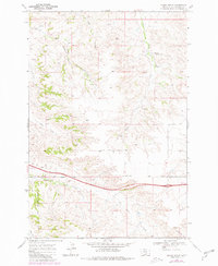
1969 Map of Indian Arrow
USGS Topo · Published 1980About this map
The Crow Indian Reservation Boundary stretches across the southern portion of this landscape, marking the transition between open range and tribal lands during the late 1960s. The terrain is defined by a dense network of coulees and creeks, most notably the seasonal drainage of Arrow Creek and the curiously named Burnt Three Wolf Creek. Local transportation and early infrastructure are anchored by Base Line Road and Squaw Creek Road, which provide access to scattered points of interest including a remote Oil Well and a small Landing Strip.
Find a feature on this map
19 named features on this map. Tap any name to fly to it.
Don’t see what you’re looking for? This feature index may not catch every label — zoom into the map to look around manually.
Map Details
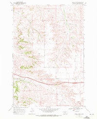
Editions of this 1969 Indian Arrow Map
2 editions found
Other maps of this area

1893 · Huntley
USGS Topo · 1:125,000

1954 · Billings
USGS Topo · 1:250,000

1956 · Huntley
USGS Topo · 1:24,000

1957 · Billings
USGS Topo · 1:250,000

1958 · Billings
USGS Topo · 1:250,000

1967 · Nibbe
USGS Topo · 1:24,000

1967 · Worden
USGS Topo · 1:24,000

1967 · Cottonwood Creek
USGS Topo · 1:24,000
1967 · Badbaby Coulee
USGS Topo · 1:24,000
1969 · Woody Mountain NW
USGS Topo · 1:24,000