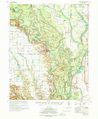
1970 Map of Indian Bay
USGS Topo · Published 1970About this map
The White River meanders through a dense network of oxbow lakes and wetlands in this 1968 compilation of Arkansas riverlands. Much of the eastern portion of the map is dedicated to the White River National Wildlife Refuge, where the river forms the boundary between Monroe, Arkansas, and Phillips counties. The landscape is defined by its complex hydrology, featuring dozens of named water bodies like Maddox Bay and Poplar Creek Lake.
Find a feature on this map
103 named features on this map. Tap any name to fly to it.
Don’t see what you’re looking for? This feature index may not catch every label — zoom into the map to look around manually.
Map Details
Editions of this 1970 Indian Bay Map
2 editions found
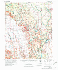
Other maps of this area

1930 · Mellwood
USGS Topo · 1:62,500

1935 · Clarendon
USGS Topo · 1:62,500

1935 · Gillett
USGS Topo · 1:62,500

1939 · Modoc
USGS Topo · 1:62,500

1939 · Indian Bay
USGS Topo · 1:62,500

1939 · Henrico
USGS Topo · 1:62,500

1939 · Mellwood
USGS Topo · 1:62,500

1940 · Marvell
USGS Topo · 1:62,500

1940 · Holly Grove
USGS Topo · 1:62,500

1941 · De Witt
USGS Topo · 1:62,500