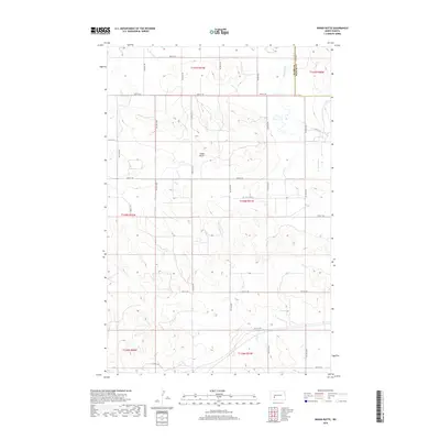
2018 Map of Indian Butte
USGS Topo · Published 2018About this map
Indian Butte rises as a prominent landform within this 2018 topographic survey of the North Dakota grasslands. The landscape is defined by the high, rolling terrain of the Missouri Plateau, marked by the headwaters and drainages of the Br Knife River which flows across the northeastern corner of the sheet. This area, spanning the border between Stark Co and Mercer Co, exhibits a highly organized section-line road network. Numerous local routes like 29th St SW, 82nd Ave SW, and 37th St SW grid the territory, reflecting the enduring legacy of the Public Land Survey System in shaping the rural plains. The map provides a precise view of the topography surrounding these essential transit corridors and the natural elevation of the butte itself.
Find a feature on this map
27 named features on this map. Tap any name to fly to it.
Don’t see what you’re looking for? This feature index may not catch every label — zoom into the map to look around manually.
Map Details
Editions of this 2018 Indian Butte Map
This is the sole edition of this map. No revisions or reprints were ever made.
Other maps of this area
1953 · Dickinson
USGS Topo · 1:250,000
1953 · Watford City
USGS Topo · 1:250,000
1957 · Dickinson
USGS Topo · 1:250,000
1957 · Watford City
USGS Topo · 1:250,000
1967 · Watford City
USGS Topo · 1:250,000
1973 · Hebron SE
USGS Topo · 1:24,000
1973 · Marshall SE
USGS Topo · 1:24,000
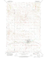
1973 · Hebron
USGS Topo · 1:24,000
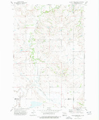
1973 · Willow Creek West
USGS Topo · 1:24,000
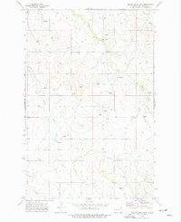
1973 · Willow Creek East
USGS Topo · 1:24,000