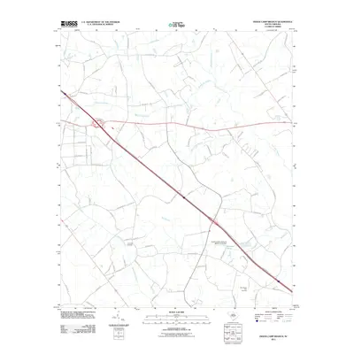
2011 Map of Indian Camp Branch
USGS Topo · Published 2011About this map
Cow Castle Creek and Bull Swamp drain a landscape defined by extensive wetlands and emerging residential developments in the early twenty-first century. This quadrangle captures the rural character of Calhoun County where the local geography is heavily shaped by the intricate networks of Middle Pen Swamp and Four Hole Swamp. These waterways once dictated the placement of early homesteads and cemeteries, such as the Pineville Cemetery and New Mount Zion Cemetery. The transition from historic agricultural patterns to more modern road systems is visible in the network of names like Big Buck Blvd and Bethel Forest Rd. Smaller water features like Brunson Pond and the Indian Camp Branch weave through the terrain, illustrating the persistence of the natural hydrology even as the region slowly modernizes.
Find a feature on this map
82 named features on this map. Tap any name to fly to it.
Don’t see what you’re looking for? This feature index may not catch every label — zoom into the map to look around manually.
Map Details
Editions of this 2011 Indian Camp Branch Map
This is the sole edition of this map. No revisions or reprints were ever made.
Other maps of this area

1920 · Bowman
USGS Topo · 1:48,000

1920 · Orangeburg
USGS Topo · 1:48,000

1921 · Orangeburg
USGS Topo · 1:62,500

1921 · Bowman
USGS Topo · 1:62,500

1943 · Bowman
USGS Topo · 1:62,500

1943 · Orangeburg
USGS Topo · 1:125,000

1943 · Orangeburg
USGS Topo · 1:62,500

1946 · Elloree
USGS Topo · 1:62,500

1946 · St. Matthews
USGS Topo · 1:62,500

1954 · Augusta
USGS Topo · 1:250,000