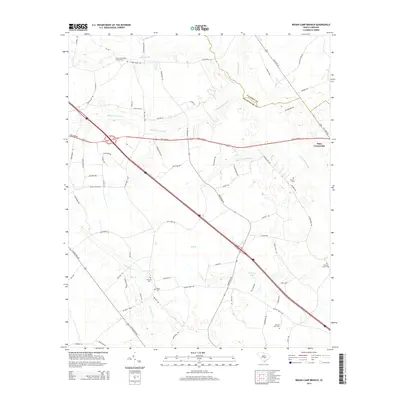
2014 Map of Indian Camp Branch
USGS Topo · Published 2014About this map
Oaks Crossroads sits at the intersection of rural transit and shifting waterways in this low-country landscape along the Calhoun and Orangeburg County line. The terrain is defined by an intricate network of wetlands, including the broad Four Hole Swamp and Middle Pen Swamp, which create a complex drainage pattern across the central plains. These natural features dictated the early placement of family and community landmarks, evidenced by the high density of small cemeteries such as Pitthan V Cem and Walnut Grove Cem.
Find a feature on this map
73 named features on this map. Tap any name to fly to it.
Don’t see what you’re looking for? This feature index may not catch every label — zoom into the map to look around manually.
Map Details
Editions of this 2014 Indian Camp Branch Map
This is the sole edition of this map. No revisions or reprints were ever made.
Other maps of this area

1920 · Bowman
USGS Topo · 1:48,000

1920 · Orangeburg
USGS Topo · 1:48,000

1921 · Orangeburg
USGS Topo · 1:62,500

1921 · Bowman
USGS Topo · 1:62,500

1943 · Bowman
USGS Topo · 1:62,500

1943 · Orangeburg
USGS Topo · 1:125,000

1943 · Orangeburg
USGS Topo · 1:62,500

1946 · Elloree
USGS Topo · 1:62,500

1946 · St. Matthews
USGS Topo · 1:62,500

1954 · Augusta
USGS Topo · 1:250,000