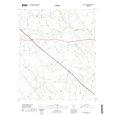
2020 Map of Indian Camp Branch
USGS Topo · Published 2020About this map
Bull Swamp and its sister waterways dominate this low-country landscape along the border of Calhoun and Orangeburg counties. This modern topographic view shows a mosaic of dense wetlands and managed agricultural tracts, connected by a network of rural routes such as Old State Rd and Five Chop Rd. The area is notably rich in cemetery sites, which serve as primary markers for family history and historical settlement patterns in a region where large towns are absent. Genealogists can locate several family and community burial grounds, including the Pitthan V Cem and Walnut Grove Cem, alongside established congregations like the Four Holes Baptist Church. The drainage patterns of Middle Pen Swamp and Cow Castle Cr illustrate the natural hydrography that has shaped land use here for generations, defining the placement of farms and homesteads.
Find a feature on this map
75 named features on this map. Tap any name to fly to it.
Don’t see what you’re looking for? This feature index may not catch every label — zoom into the map to look around manually.
Map Details
Editions of this 2020 Indian Camp Branch Map
This is the sole edition of this map. No revisions or reprints were ever made.
Other maps of this area

1920 · Bowman
USGS Topo · 1:48,000

1920 · Orangeburg
USGS Topo · 1:48,000

1921 · Orangeburg
USGS Topo · 1:62,500

1921 · Bowman
USGS Topo · 1:62,500

1943 · Bowman
USGS Topo · 1:62,500

1943 · Orangeburg
USGS Topo · 1:125,000

1943 · Orangeburg
USGS Topo · 1:62,500

1946 · Elloree
USGS Topo · 1:62,500

1946 · St. Matthews
USGS Topo · 1:62,500

1954 · Augusta
USGS Topo · 1:250,000