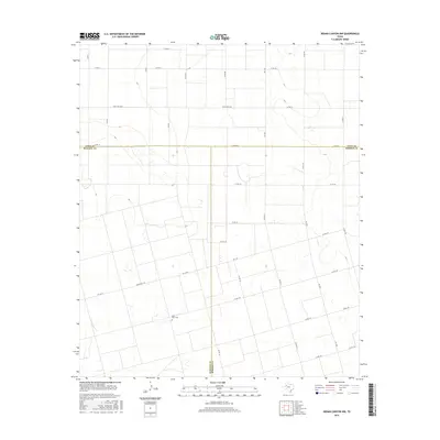
2016 Map of Indian Canyon NW
USGS Topo · Published 2016About this map
Plain-View Cem sits at the heart of a high plains landscape defined by the intersection of three West Texas counties. This 2016 survey documents the precise convergence of the Lynn, Dawson, and Borden county lines, where a grid of rural roads such as Co Rd 38 and Co Rd 131 connects isolated agricultural parcels. The terrain is largely defined by the agricultural layout of the Llano Estacado, with a transport network centered on corridors like Fm 1054 and Ranch Rd 2053. This map is particularly useful for researchers tracing family ties to the remote Plains region or identifying the specific land divisions and rural routes that have structured this corner of the Texas Panhandle for generations.
Find a feature on this map
36 named features on this map. Tap any name to fly to it.
Don’t see what you’re looking for? This feature index may not catch every label — zoom into the map to look around manually.
Map Details
Editions of this 2016 Indian Canyon NW Map
This is the sole edition of this map. No revisions or reprints were ever made.
Other maps of this area

1954 · Lubbock
USGS Topo · 1:250,000

1954 · Big Spring
USGS Topo · 1:250,000

1958 · Big Spring
USGS Topo · 1:250,000

1968 · Hancock
USGS Topo · 1:24,000

1969 · Skeen Lake
USGS Topo · 1:24,000

1969 · O'Donnell
USGS Topo · 1:24,000

1969 · Indian Canyon NE
USGS Topo · 1:24,000

1969 · Indian Canyon
USGS Topo · 1:24,000

1969 · Grassland SE
USGS Topo · 1:24,000

1969 · Holloway Canyon
USGS Topo · 1:24,000