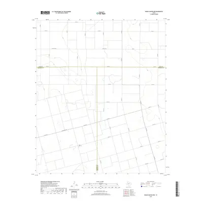
2019 Map of Indian Canyon NW
USGS Topo · Published 2019About this map
The West Texas plains at the intersection of Dawson, Lynn, and Borden counties reveal a landscape defined by an orderly grid of ranch roads and remote landmarks. This 2019 survey of the Indian Canyon area illustrates how the cattle-and-cotton country of the Llano Estacado is partitioned by long straightaways such as Co Rd 35. A single genealogical marker, Blain View Cem, sits isolated within the southern half of the map, serving as a primary point of reference for families tracing their history through this sparsely settled region of the Panhandle. The map captures the quiet transition of land use at these three county corners, where the open terrain is only occasionally broken by the winding paths of local ranch roads and intermittent drainage features.
Find a feature on this map
5 named features on this map. Tap any name to fly to it.
Don’t see what you’re looking for? This feature index may not catch every label — zoom into the map to look around manually.
Map Details
Editions of this 2019 Indian Canyon NW Map
This is the sole edition of this map. No revisions or reprints were ever made.
Other maps of this area

1954 · Lubbock
USGS Topo · 1:250,000

1954 · Big Spring
USGS Topo · 1:250,000

1958 · Big Spring
USGS Topo · 1:250,000
1968 · Hancock
USGS Topo · 1:24,000
1969 · Skeen Lake
USGS Topo · 1:24,000
1969 · O'Donnell
USGS Topo · 1:24,000
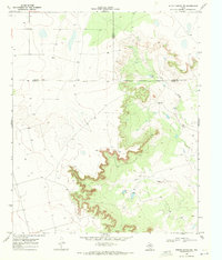
1969 · Indian Canyon NE
USGS Topo · 1:24,000
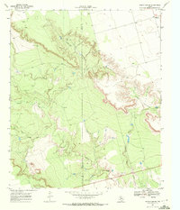
1969 · Indian Canyon
USGS Topo · 1:24,000
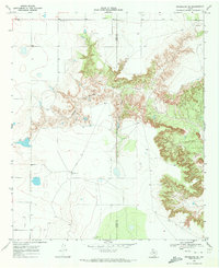
1969 · Grassland SE
USGS Topo · 1:24,000
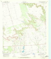
1969 · Holloway Canyon
USGS Topo · 1:24,000