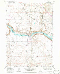
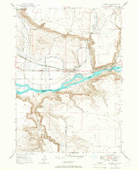
1947 Map of Indian Cove
USGS Topo · Published 1986About this map
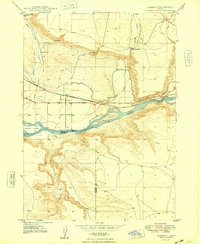
The Old Oregon Trail cuts through the high desert bluffs of southern Idaho in this mid-century survey, tracing a path just north of the Snake River. This stretch of the river serves as the county line between Elmore and Owyhee counties, where the landscape is defined by the stark contrasts of volcanic basalt and sedimentary deposits. Notable features include Indian Point and the steep walls of Chalk Gulch, highlighting the river's deep incision into the surrounding Chalk Flat.
Find a feature on this map
24 named features on this map. Tap any name to fly to it.
Don’t see what you’re looking for? This feature index may not catch every label — zoom into the map to look around manually.
Map Details
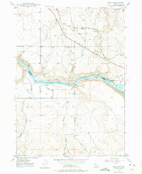
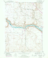
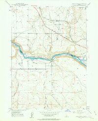
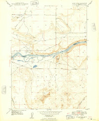
Editions of this 1947 Indian Cove Map
4 editions found
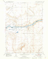
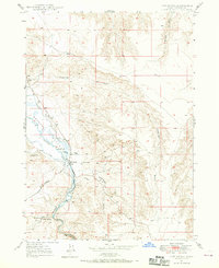
Other maps of this area

1892 · Mountain Home
USGS Topo · 1:125,000

1892 · Camas Prairie
USGS Topo · 1:125,000

1893 · Mountain Home
USGS Topo · 1:125,000

1893 · Camas Prairie
USGS Topo · 1:125,000
1947 · Indian Cove
USGS Topo · 1:24,000
1947 · Hammett
USGS Topo · 1:24,000
1947 · Sand Dunes
USGS Topo · 1:24,000
1947 · Hot Spring
USGS Topo · 1:24,000
1948 · Sand Dunes
USGS Topo · 1:24,000
1948 · Hammett
USGS Topo · 1:24,000