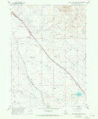
1957 Map of Indian Creek Reservoir
USGS Topo · Published 1972About this map
The Route of Oregon Trail traverses the northern ridge of this Ada County landscape, passing through Bonneville Point as it descends toward the river valleys. This 1957 survey, with updates recorded in 1971, illustrates a high desert corridor dominated by drainage systems like Fivemile Creek and Upper Blacks Creek. The infrastructure of the mid-20th century is superimposed over these historic emigrant paths, notably the Union Pacific (Oregon Short Line) and a series of industrial pipelines and ditches that cut diagonally across the terrain.
Find a feature on this map
27 named features on this map. Tap any name to fly to it.
Don’t see what you’re looking for? This feature index may not catch every label — zoom into the map to look around manually.
Map Details
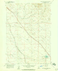
Editions of this 1957 Indian Creek Reservoir Map
2 editions found
Other maps of this area

1892 · Mountain Home
USGS Topo · 1:125,000

1892 · Boise
USGS Topo · 1:125,000

1892 · Bisuka
USGS Topo · 1:125,000

1893 · Mountain Home
USGS Topo · 1:125,000

1894 · Bisuka
USGS Topo · 1:125,000

1894 · Idaho Basin
USGS Topo · 1:125,000

1897 · Boise
USGS Topo · 1:125,000

1954 · Boise South
USGS Topo · 1:24,000

1954 · Boise
USGS Topo · 1:62,500

1955 · Christmas Mtn
USGS Topo · 1:24,000