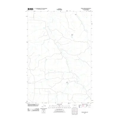
2011 Map of Indian Creek
USGS Topo · Published 2011About this map
Sweeney Creek meanders through this section of Rosebud County, Montana, carving a complex drainage network that defines the local landscape. In this early 21st-century survey, the environment is marked by essential water management infrastructure, notably Nielsen Dam, Fleming Number 2 Dam, and Hunt Number 2 Dam. These features suggest a landscape managed for ranching or local agriculture in a semi-arid region where water retention is critical. The map traces the paths of several seasonal and perennial waterways, including Indian Creek, Buffalo Creek, and the headwaters of Twelvemile Creek. Transportation is limited to functional rural corridors such as Sweeney Creek Rd and Butte Creek Rd, which provide access to the remote terrain and connect scattered points of interest across the quadrangle.
Find a feature on this map
11 named features on this map. Tap any name to fly to it.
Don’t see what you’re looking for? This feature index may not catch every label — zoom into the map to look around manually.
Map Details
Editions of this 2011 Indian Creek Map
This is the sole edition of this map. No revisions or reprints were ever made.
Other maps of this area

1954 · Forsyth
USGS Topo · 1:250,000

1957 · Forsyth
USGS Topo · 1:250,000

1958 · Forsyth
USGS Topo · 1:250,000
1968 · Rosebud
USGS Topo · 1:24,000
1968 · Hathaway
USGS Topo · 1:24,000
1968 · Thurlow
USGS Topo · 1:24,000
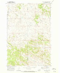
1969 · Miller Creek SW
USGS Topo · 1:24,000
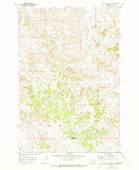
1969 · Miller Creek NW
USGS Topo · 1:24,000
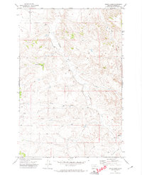
1971 · Indian Creek
USGS Topo · 1:24,000
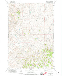
1971 · Crain Place
USGS Topo · 1:24,000