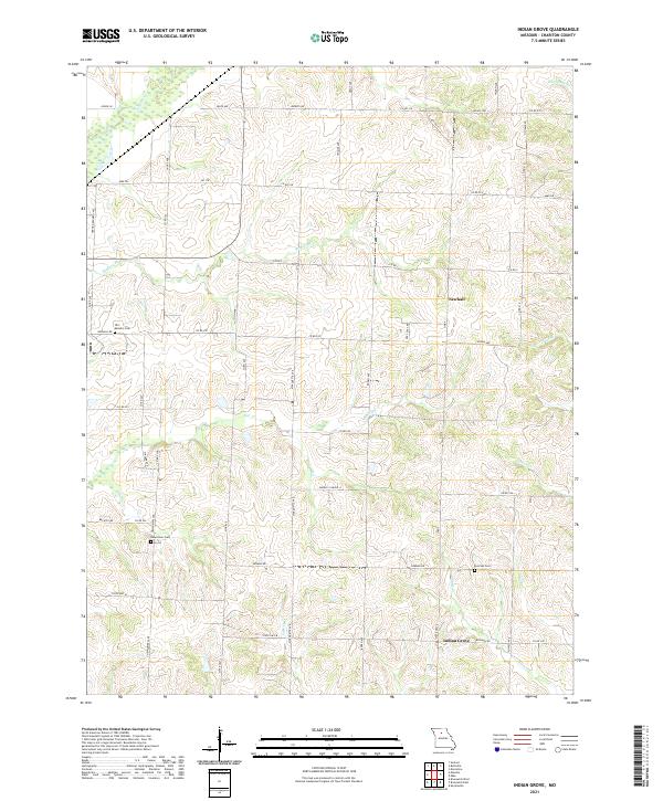
2021 Map of Indian Grove
USGS Topo · Published 2021About this map
Indian Grove and Newhall anchor this landscape in rural Chariton County, where a network of tributary streams dissects the agricultural terrain. The drainage patterns are defined by numerous named waterways including Yellow Cr, Salt Cr, and Skunk Cr, which flow through the sectioned fields and along county roads. The map reveals a high density of small family or community burial sites, which are critical for genealogical research in this part of Missouri. These include the German Cem located south of the main settlements, the Newcomer Cem further west, and the Old Mendon Cem near the northwestern edge. The grid of rural routes like Co RD 216 and HWY F connects these isolated landmarks, providing a clear record of the modern road system as it overlays historical land divisions.
Find a feature on this map
55 named features on this map. Tap any name to fly to it.
Don’t see what you’re looking for? This feature index may not catch every label — zoom into the map to look around manually.
Map Details
Editions of this 2021 Indian Grove Map
This is the sole edition of this map. No revisions or reprints were ever made.
Other maps of this area

1890 · Glasgow
USGS Topo · 1:125,000

1890 · Marshall
USGS Topo · 1:125,000

1892 · Marshall
USGS Topo · 1:125,000

1901 · Marshall
USGS Topo · 1:125,000

1949 · Mendon
USGS Topo · 1:24,000

1949 · Indian Grove
USGS Topo · 1:24,000

1949 · Sumner
USGS Topo · 1:24,000

1949 · Rothville
USGS Topo · 1:24,000

1950 · Sumner
USGS Topo · 1:24,000

1950 · Rothville
USGS Topo · 1:24,000