
1955 Map of Indian Guide
USGS Topo · Published 1956About this map
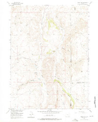
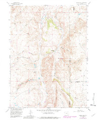
South Sybille Creek and its complex network of tributaries, including the West Fork South Sybille Creek and Grant Creek, define the topography of this high country during the mid-1950s. The landscape is characterized by prominent drainage systems and high points like Iron Mountain and the Indian Guide landmark. Evidence of early infrastructure and community centers is preserved here, most notably the Old Wheatland Road winding through the hills and small educational outposts such as South Sybille Sch and Shaffer Sch. This survey, conducted as part of the Department of the Interior program for the development of the Missouri River Basin, reveals a sparsely populated ranching or grazing territory where water sources like Little Creek and Spring Cr were vital to local activity at the tri-county junction of Albany, Platte, and Laramie.
Find a feature on this map
21 named features on this map. Tap any name to fly to it.
Don’t see what you’re looking for? This feature index may not catch every label — zoom into the map to look around manually.
Map Details
Editions of this 1955 Indian Guide Map
3 editions found
Other maps of this area

1953 · Natwick SW
USGS Topo · 1:24,000

1954 · Cheyenne
USGS Topo · 1:250,000

1955 · Poe Mountain
USGS Topo · 1:24,000

1955 · Guide Rock
USGS Topo · 1:24,000

1955 · Baldy Mountain
USGS Topo · 1:24,000

1955 · Sheep Rock
USGS Topo · 1:24,000

1955 · Goat Mountain
USGS Topo · 1:24,000

1958 · Cheyenne
USGS Topo · 1:250,000

1962 · Farthing
USGS Topo · 1:24,000

1962 · Delano Ranch
USGS Topo · 1:24,000