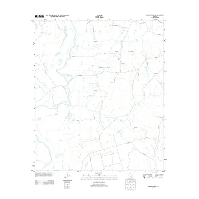
2013 Map of Indian Lake
USGS Topo · Published 2013About this map
The Trinity River snakes through this low-lying landscape, defining the western geography with its complex oxbows and riparian basins. Among these water bodies are the eponymous Indian Lake, as well as Spring Lake and the provocatively named Criminal Lake, illustrating the river's historical shifts over time. The map provides significant genealogical value for Anderson County researchers, identifying the locations of the Parker Cem and Davis Cem situated near the rural road networks.
Find a feature on this map
42 named features on this map. Tap any name to fly to it.
Don’t see what you’re looking for? This feature index may not catch every label — zoom into the map to look around manually.
Map Details
Editions of this 2013 Indian Lake Map
This is the sole edition of this map. No revisions or reprints were ever made.
Other maps of this area
1951 · Elkhart
USGS Topo · 1:62,500
1953 · Palestine
USGS Topo · 1:250,000
1957 · Palestine
USGS Topo · 1:250,000
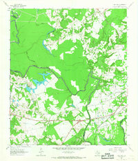
1964 · Long Lake
USGS Topo · 1:24,000
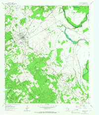
1964 · Oakwood
USGS Topo · 1:24,000
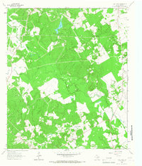
1964 · Lake Leon
USGS Topo · 1:24,000
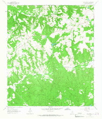
1964 · Hays Spring
USGS Topo · 1:24,000
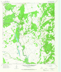
1964 · Stanmire Lake
USGS Topo · 1:24,000
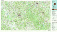
1981 · Palestine
USGS Topo · 1:100,000
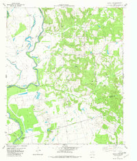
1982 · Indian Lake
USGS Topo · 1:24,000