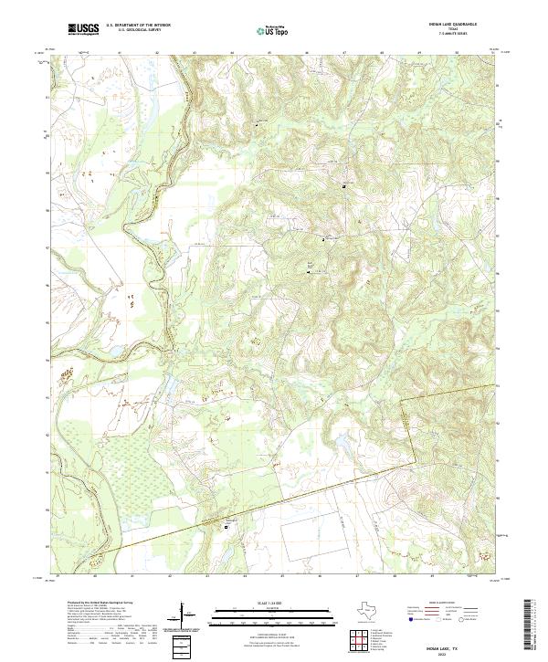
2022 Map of Indian Lake
USGS Topo · Published 2022About this map
The Trinity River winds along the western edge of this landscape, marking the boundary between Anderson and Leon counties. This riparian corridor is characterized by a series of oxbow features and named wetlands including Spring Lake and Criminal Lake, which define the low-lying drainage patterns of the river valley. The upland terrain is carved by multiple tributaries such as Manson Cr and Box Cr, which cut through the rolling topography of this rural East Texas region.
Find a feature on this map
46 named features on this map. Tap any name to fly to it.
Don’t see what you’re looking for? This feature index may not catch every label — zoom into the map to look around manually.
Map Details
Editions of this 2022 Indian Lake Map
This is the sole edition of this map. No revisions or reprints were ever made.
Other maps of this area

1951 · Elkhart
USGS Topo · 1:62,500

1953 · Palestine
USGS Topo · 1:250,000

1957 · Palestine
USGS Topo · 1:250,000

1964 · Long Lake
USGS Topo · 1:24,000

1964 · Oakwood
USGS Topo · 1:24,000

1964 · Lake Leon
USGS Topo · 1:24,000

1964 · Hays Spring
USGS Topo · 1:24,000

1964 · Stanmire Lake
USGS Topo · 1:24,000

1981 · Palestine
USGS Topo · 1:100,000
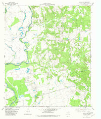
1982 · Indian Lake
USGS Topo · 1:24,000