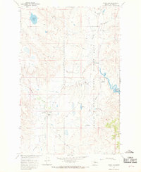
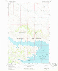
1965 Map of Indian Lake
USGS Topo · Published 1970About this map
Ranching operations and wildlife conservation efforts define this portion of Phillips County, surveyed in the mid-1960s. The landscape is dominated by the Charles M. Russell National Wildlife Range, which protects the breaks and coulees surrounding the northern reaches of the Fort Peck Reservoir. This area reflects a specialized remote economy where family holdings like the Wiederick Ranch, Long X Ranch, and Matovich Ranch are established alongside a complex system of water management features, including Jones Reservoir and the Halfway Retaining Pit. The topography is etched by drainage systems like Fourchette Creek and Mickey Coulee, which flow toward the Missouri River basin. A small Landing Area near the Matovich property highlights the necessity of aerial access in this sparsely populated terrain, while Indian Lake stands as a distinct hydrological marker in the northwestern corner.
Find a feature on this map
22 named features on this map. Tap any name to fly to it.
Don’t see what you’re looking for? This feature index may not catch every label — zoom into the map to look around manually.
Map Details
Editions of this 1965 Indian Lake Map
2 editions found
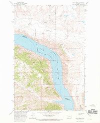
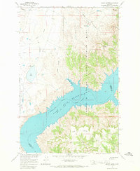
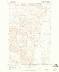
Other maps of this area

1954 · Jordan
USGS Topo · 1:250,000

1956 · Jordan
USGS Topo · 1:250,000

1958 · Jordan
USGS Topo · 1:250,000

1964 · Jordan
USGS Topo · 1:250,000
1965 · Lost Creek
USGS Topo · 1:24,000
1965 · Sun Prairie
USGS Topo · 1:24,000
1965 · Herman Point
USGS Topo · 1:24,000
1965 · Locke Ranch
USGS Topo · 1:24,000
1965 · Mickey Butte
USGS Topo · 1:24,000
1965 · Stratton Reservoir
USGS Topo · 1:24,000