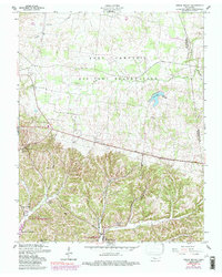
1957 Map of Indian Mound
USGS Topo · Published 1989About this map
Indian Mound serves as the focal point of this Stewart County landscape, where the agricultural traditions of north-central Tennessee meet the administrative boundaries of the Fort Campbell Military Reservation. The map captures a transition in land use, showing established family landmarks and rural institutions like the Lineberry Cem, Big A Sch, and Atkins Sch alongside the encroaching federal footprint. To the south, the terrain descends into the bottomlands of the Cross Creeks National Wildlife Refuge, where the Lake Barkley shoreline begins to take shape. Numerous small settlements such as Legate and Wyatt Ch are depicted, connected by a network of creeks including Piney Fork and North Fork. This survey provides a look at the mid-century rural infrastructure before subsequent modernization, preserving the locations of community anchors like the Rose Valley Ch and Commissary Sch.
Find a feature on this map
28 named features on this map. Tap any name to fly to it.
Don’t see what you’re looking for? This feature index may not catch every label — zoom into the map to look around manually.
Map Details
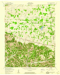
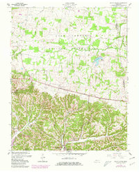
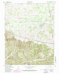
Editions of this 1957 Indian Mound Map
4 editions found
Other maps of this area

1931 · Erin
USGS Topo · 1:62,500

1936 · Dover
USGS Topo · 1:24,000

1950 · Dover
USGS Topo · 1:24,000

1951 · Roaring Spring
USGS Topo · 1:24,000

1951 · Johnson Hollow
USGS Topo · 1:24,000

1951 · Indian Mound
USGS Topo · 1:24,000

1951 · Bumpus Mills
USGS Topo · 1:24,000

1951 · Herndon
USGS Topo · 1:24,000

1951 · Woodlawn
USGS Topo · 1:24,000

1956 · Nashville
USGS Topo · 1:250,000