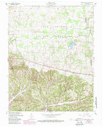
1957 Map of Indian Mound
USGS Topo · Published 1989About this map
The Fort Campbell Military Reservation dominates the northern half of this landscape, its training grounds and wooded tracts contrasting with the agricultural and riparian terrain to the south. The small settlement of Indian Mound serves as a focal point near the southern border, where the land drops away into the intricate drainage of the Cross Creeks National Wildlife Refuge. Here, the impounded waters of Lake Barkley reach into the valleys via the North Fork Cross Creek.
Find a feature on this map
21 named features on this map. Tap any name to fly to it.
Don’t see what you’re looking for? This feature index may not catch every label — zoom into the map to look around manually.
Map Details
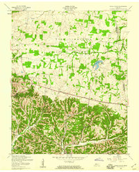
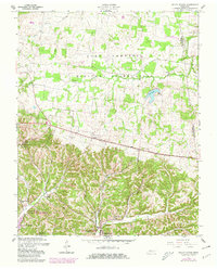
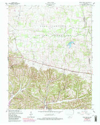
Editions of this 1957 Indian Mound Map
4 editions found
Other maps of this area

1931 · Erin
USGS Topo · 1:62,500

1936 · Dover
USGS Topo · 1:24,000

1950 · Dover
USGS Topo · 1:24,000

1951 · Roaring Spring
USGS Topo · 1:24,000

1951 · Johnson Hollow
USGS Topo · 1:24,000

1951 · Indian Mound
USGS Topo · 1:24,000

1951 · Bumpus Mills
USGS Topo · 1:24,000

1951 · Herndon
USGS Topo · 1:24,000

1951 · Woodlawn
USGS Topo · 1:24,000

1956 · Nashville
USGS Topo · 1:250,000