
1959 Map of Indian Springs
USGS Topo · Published 1961About this map
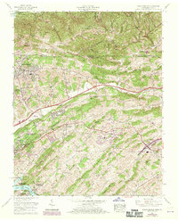
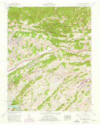
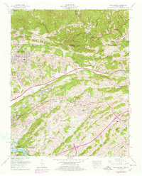
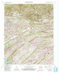
The Virginia Tennessee border divides this 1959 landscape, where the ridges of the Appalachian Valley and Ridge province dictate the flow of community life. Several family-named settlements like Ketrontown, Arcadia, and Harrtown are connected by the prominent Lee Highway, which cuts across the terrain near Chestnut Ridge. The map highlights a robust network of rural institutions, including Bright Hope Church, Fowler Chapel, and the Ketron High Sch, alongside numerous family burial grounds such as Hickman Cem and Olinger Cem.
Find a feature on this map
64 named features on this map. Tap any name to fly to it.
Don’t see what you’re looking for? This feature index may not catch every label — zoom into the map to look around manually.
Map Details
Editions of this 1959 Indian Springs Map
5 editions found
Other maps of this area

1891 · Roan Mountain
USGS Topo · 1:125,000

1892 · Greeneville
USGS Topo · 1:125,000

1894 · Roan Mountain
USGS Topo · 1:125,000

1894 · Estillville
USGS Topo · 1:125,000

1896 · Greeneville
USGS Topo · 1:125,000

1897 · Bristol
USGS Topo · 1:125,000

1902 · Bristol
USGS Topo · 1:125,000

1904 · Roan Mountain
USGS Topo · 1:125,000

1904 · Greeneville
USGS Topo · 1:125,000

1935 · Hilton
USGS Topo · 1:24,000