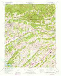
1959 Map of Indian Springs
USGS Topo · Published 1978About this map
Pettyjohn Mill and Huddle Mill sit along the drainages of Sullivan County, tracing a history of local industry in a landscape defined by the parallel ridges of Chestnut Ridge and Gum Ridge. This 1959 survey, updated with revisions through the late 1970s, documents the expansion of Kingsport into residential areas like Preston Woods, Hillcrest, and Sunnyside. The map details the transition from rural hollows, such as Mollie Hollow and Bright Hollow, to established community landmarks like the Tri-City Golf Course and Bloomingdale Sch. Local genealogy is well-represented through numerous family and community burial sites, including Shipley Cem and Gunnings Cem. The northern boundary follows the Virginia Tennessee state line, where the terrain rises toward Low Gap and Mullins Ridge, while the southern reaches are anchored by the South Fork Holston River and Warriors Path State Park.
Find a feature on this map
51 named features on this map. Tap any name to fly to it.
Don’t see what you’re looking for? This feature index may not catch every label — zoom into the map to look around manually.
Map Details
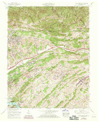
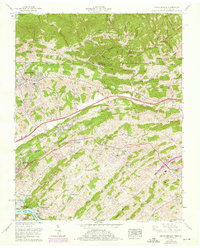
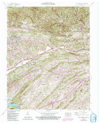
Editions of this 1959 Indian Springs Map
5 editions found

Other maps of this area

1891 · Roan Mountain
USGS Topo · 1:125,000

1892 · Greeneville
USGS Topo · 1:125,000

1894 · Roan Mountain
USGS Topo · 1:125,000

1894 · Estillville
USGS Topo · 1:125,000

1896 · Greeneville
USGS Topo · 1:125,000

1897 · Bristol
USGS Topo · 1:125,000

1902 · Bristol
USGS Topo · 1:125,000

1904 · Roan Mountain
USGS Topo · 1:125,000

1904 · Greeneville
USGS Topo · 1:125,000

1935 · Hilton
USGS Topo · 1:24,000