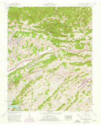
1959 Map of Indian Springs
USGS Topo · Published 1976About this map
Cook Valley and the surrounding ridges of northeast Tennessee are captured here during a period of mid-century suburban expansion and industrial growth. The landscape is defined by its deep history of local milling, evidenced by Pettyjohn Mill and Huddle Mill situated along the drainage of Sinking Water Creek. To the southwest, the outskirts of Kingsport begin to push into the rural character of Orebank and Bridwell Heights, while the southern border is anchored by the waters of the South Fork Holston River and the newly established Warriors Path State Park.
Find a feature on this map
57 named features on this map. Tap any name to fly to it.
Don’t see what you’re looking for? This feature index may not catch every label — zoom into the map to look around manually.
Map Details
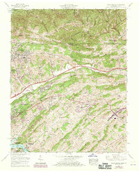
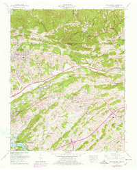
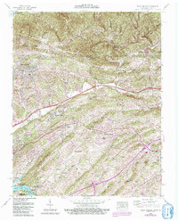
Editions of this 1959 Indian Springs Map
5 editions found

Other maps of this area

1891 · Roan Mountain
USGS Topo · 1:125,000

1892 · Greeneville
USGS Topo · 1:125,000

1894 · Roan Mountain
USGS Topo · 1:125,000

1894 · Estillville
USGS Topo · 1:125,000

1896 · Greeneville
USGS Topo · 1:125,000

1897 · Bristol
USGS Topo · 1:125,000

1902 · Bristol
USGS Topo · 1:125,000

1904 · Roan Mountain
USGS Topo · 1:125,000

1904 · Greeneville
USGS Topo · 1:125,000

1935 · Hilton
USGS Topo · 1:24,000