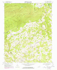
1968 Map of Indian Valley
USGS Topo · Published 1978About this map
Indian Valley and Copper Valley anchor this 1968 study of the highlands where Floyd, Montgomery, Pulaski, and Carroll counties meet. The landscape is defined by the heavy dissection of Big Mountain and Knoll Mountain, with numerous small community centers marked by their proximity to local watercourses like Little Indian Creek and Greasy Creek. The map documents a rural infrastructure deeply tied to family and faith, featuring several namesake landmarks such as the Quesenberry Cemetery and the Big Sand Cemetery. Educational and social hubs are clearly noted, including the Indian Valley School and multiple country congregations like Bethel Chapel and the Christian Mission. Industrial activity is minimal but present via scattered resources like the Quarry near De Hart Mountain and a Gravel Pit along Deepwater Creek, reflecting the localized economy of the Blue Ridge foothills during this era.
Find a feature on this map
44 named features on this map. Tap any name to fly to it.
Don’t see what you’re looking for? This feature index may not catch every label — zoom into the map to look around manually.
Map Details
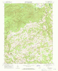
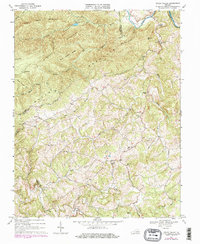
Editions of this 1968 Indian Valley Map
3 editions found
Other maps of this area

1889 · Hillsville
USGS Topo · 1:125,000

1890 · Dublin
USGS Topo · 1:125,000

1890 · Christiansburg
USGS Topo · 1:125,000

1891 · Dublin
USGS Topo · 1:125,000

1892 · Hillsville
USGS Topo · 1:125,000

1896 · Hillsville
USGS Topo · 1:125,000

1932 · Blacksburg
USGS Topo · 1:48,000

1937 · Blacksburg
USGS Topo · 1:62,500

1950 · Radford
USGS Topo · 1:62,500

1953 · Winston-Salem
USGS Topo · 1:250,000