
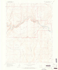
1962 Map of Indian Water Canyon
USGS Topo · Published 1965About this map
The Yampa River carves a deep path through northwestern Colorado in this early 1960s study, defining the wild character of Dinosaur National Monument. The landscape is a complex network of seasonal drainages and named canyon features, such as Indian Water Canyon and Thanksgiving Gorge. Human presence in this isolated terrain is marked by remote outposts and historical tracks, including Stubs Cabin and the Old Chuck Wagon Road winding through East Cactus Flat.
Find a feature on this map
34 named features on this map. Tap any name to fly to it.
Don’t see what you’re looking for? This feature index may not catch every label — zoom into the map to look around manually.
Map Details
Editions of this 1962 Indian Water Canyon Map
2 editions found
Other maps of this area

1907 · Rangely
USGS Topo · 1:125,000

1907 · White River
USGS Topo · 1:125,000

1910 · White River
USGS Topo · 1:125,000

1910 · Rangely
USGS Topo · 1:125,000

1954 · Vernal
USGS Topo · 1:250,000

1958 · Vernal
USGS Topo · 1:250,000

1960 · Vernal
USGS Topo · 1:250,000

1960 · Elk Springs
USGS Topo · 1:62,500

1960 · Lone Mountain
USGS Topo · 1:62,500
1962 · M F Mountain
USGS Topo · 1:24,000