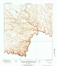
1918 Map of Indian Wells
USGS Topo · Published 1949About this map
The Rio Grande carves a winding international border through the Chihuahuan Desert at the southern edge of the Texas and Coahuila boundary. This 1917 survey, produced in cooperation with the War Department, reveals a landscape of deep canyons and isolated outposts during an era when ranching was the primary footprint on the land. Named settlements like Garcia Ranch, Elders Ranch, and Stewart Ranch are situated near the intricate drainage networks of San Francisco Creek and Maravillas Canyon. The map illustrates the topographic complexity of the Big Bend region before modern development, showing the vital connection between these early homesteads and the erratic water sources provided by Indian Wells and the numerous dry creeks that feed into the river corridor. The presence of a clear county line between Terrell and Brewster counties highlights the administrative divisions of this sparsely populated borderland.
Find a feature on this map
23 named features on this map. Tap any name to fly to it.
Don’t see what you’re looking for? This feature index may not catch every label — zoom into the map to look around manually.
Map Details
Editions of this 1918 Indian Wells Map
4 editions found
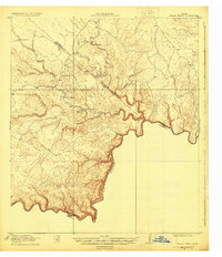
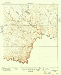
Other maps of this area

1918 · Reagan Canyon
USGS Topo · 1:62,500

1918 · Dryden Crossing
USGS Topo · 1:62,500

1918 · Bullis Gap
USGS Topo · 1:62,500

1918 · Indian Wells
USGS Topo · 1:62,500

1920 · Longfellow
USGS Topo · 1:125,000

1928 · Sanderson
USGS Topo · 1:125,000

1954 · Fort Stockton
USGS Topo · 1:250,000

1958 · Fort Stockton
USGS Topo · 1:250,000

1959 · Emory Peak
USGS Topo · 1:250,000

1965 · Emory Peak
USGS Topo · 1:250,000