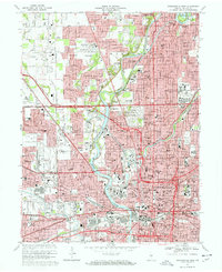
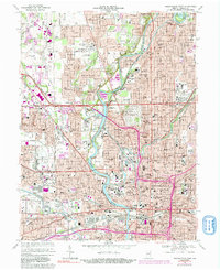
1967 Map of Indianapolis West
USGS Topo · Published 1970About this map
Indianapolis Motor Speedway and the adjacent town of Speedway dominate the west-central portion of this urban survey, revealing the mid-century footprint of this international racing landmark. The landscape is defined by the White River and the Central Canal, which snake through a dense grid of neighborhoods and institutions. Local history is deeply rooted in the numerous educational and medical centers, including Butler University, Marian College, and the sprawling grounds of Central State Hospital.
Find a feature on this map
180 named features on this map. Tap any name to fly to it.
Don’t see what you’re looking for? This feature index may not catch every label — zoom into the map to look around manually.
Map Details
Editions of this 1967 Indianapolis West Map
5 editions found
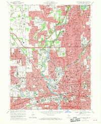
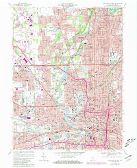
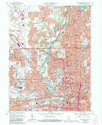
Other maps of this area

1948 · Indianapolis East
USGS Topo · 1:24,000

1948 · Maywood
USGS Topo · 1:24,000

1948 · Beech Grove
USGS Topo · 1:24,000

1948 · Indianapolis West
USGS Topo · 1:24,000

1952 · Fishers
USGS Topo · 1:24,000

1952 · Carmel
USGS Topo · 1:24,000

1953 · Bridgeport
USGS Topo · 1:24,000

1953 · Zionsville
USGS Topo · 1:24,000

1953 · Clermont
USGS Topo · 1:24,000

1953 · Indianapolis
USGS Topo · 1:250,000
Featured Places
- Indianapolis, IN
- Speedway, Indianapolis
- Meridian Hills, Indianapolis
- Rocky Ripple, Indianapolis
- Wynnedale, Indianapolis