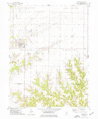
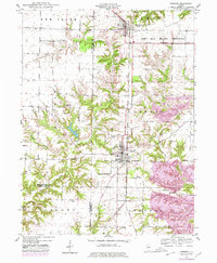
1974 Map of Industry
USGS Topo · Published 1977About this map
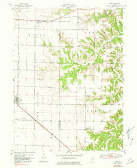
Industry serves as the central hub of this mid-1970s landscape, positioned just north of the border between McDonough Co and Schuyler Co. The settlement pattern reflects a deeply established rural community, with township divisions including Scotland, New Salem, Eldorado, and Littleton partitioning the fertile agricultural land. A network of small, family-named cemeteries such as Vance Cem, Wilhelm Cem, and Chockley Cem are scattered throughout the countryside, often located near the winding drainages of Grindstone Creek and Carter Creek.
Find a feature on this map
24 named features on this map. Tap any name to fly to it.
Don’t see what you’re looking for? This feature index may not catch every label — zoom into the map to look around manually.
Map Details
Editions of this 1974 Industry Map
This is the sole edition of this map. No revisions or reprints were ever made.
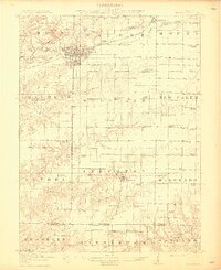
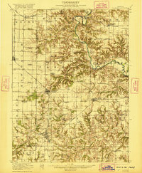
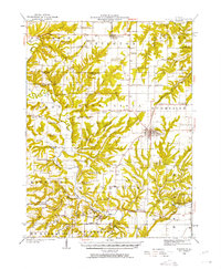
Other maps of this area

1912 · Macomb
USGS Topo · 1:62,500
1914 · Macomb
USGS Topo · 1:62,500

1918 · Vermont
USGS Topo · 1:62,500
1921 · Vermont
USGS Topo · 1:62,500
1923 · Rushville
USGS Topo · 1:62,500
1926 · Beardstown
USGS Topo · 1:62,500
1926 · Rushville
USGS Topo · 1:62,500
1944 · Beardstown
USGS Topo · 1:62,500
1947 · Vermont
USGS Topo · 1:24,000
1947 · Adair
USGS Topo · 1:24,000