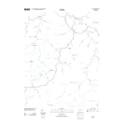
2013 Map of Inez
USGS Topo · Published 2013About this map
Inez serves as a focal point in this eastern Kentucky landscape, situated near the confluence of Rockcastle Cr and Coldwater Fork. The area's settlement pattern follows the narrow valley floors, with small communities such as Tomahawk, Debord, and Davella established along the winding waterways and hollows. This topography is defined by an intricate network of drainage, including the Middle Fork Rockcastle Cr and numerous named branches like Stafford Fork and Trace Fork. Local history is preserved in sites like the Ward Cem, while smaller settlements such as Davisport and Short Hollow illustrate the dispersed nature of mountain life. The map details the transition from rural residential areas to the surrounding timbered heights, connected by a web of local roads such as Saltwell Branch Rd and Crum Branch Rd.
Find a feature on this map
118 named features on this map. Tap any name to fly to it.
Don’t see what you’re looking for? This feature index may not catch every label — zoom into the map to look around manually.
Map Details
Editions of this 2013 Inez Map
This is the sole edition of this map. No revisions or reprints were ever made.
Other maps of this area

1886 · Prestonsburg
USGS Topo · 1:125,000

1887 · Warfield
USGS Topo · 1:125,000

1891 · Warfield
USGS Topo · 1:125,000

1892 · Prestonsburg
USGS Topo · 1:125,000

1910 · Naugatuck
USGS Topo · 1:48,000

1912 · Naugatuck
USGS Topo · 1:62,500

1914 · Laynesville
USGS Topo · 1:48,000

1914 · Inez
USGS Topo · 1:48,000

1915 · Williamson
USGS Topo · 1:48,000

1915 · Naugatuck
USGS Topo · 1:48,000