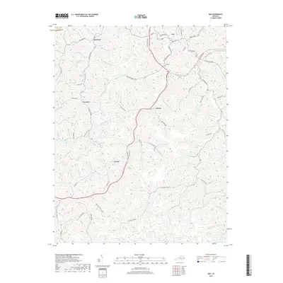
2019 Map of Inez
USGS Topo · Published 2019About this map
Inez serves as the primary center of activity in this 2019 view of Martin County, where the confluence of Rockcastle Road and East Main Street anchors the local community. The landscape is defined by an intricate network of narrow valleys and ridges, with small settlements like Tomahawk, Davella, and Debord following the winding paths of local waterways. These branches, including Rockhouse Fork and Stafford Fork, dictate the placement of local infrastructure, from the Main Beech Fork Road to the numerous residences tucked into the hollows. Genealogists may find interest in the Ward Cemetery and family-named landmarks like Short Hollow or McGinnis Branch. The map illustrates a modern Appalachian landscape where residential growth at Cardinal Ests exists alongside long-standing rural routes like Tomahawk Road and Rock House Road.
Find a feature on this map
120 named features on this map. Tap any name to fly to it.
Don’t see what you’re looking for? This feature index may not catch every label — zoom into the map to look around manually.
Map Details
Editions of this 2019 Inez Map
This is the sole edition of this map. No revisions or reprints were ever made.
Other maps of this area

1886 · Prestonsburg
USGS Topo · 1:125,000

1887 · Warfield
USGS Topo · 1:125,000

1891 · Warfield
USGS Topo · 1:125,000

1892 · Prestonsburg
USGS Topo · 1:125,000

1910 · Naugatuck
USGS Topo · 1:48,000

1912 · Naugatuck
USGS Topo · 1:62,500

1914 · Laynesville
USGS Topo · 1:48,000

1914 · Inez
USGS Topo · 1:48,000

1915 · Williamson
USGS Topo · 1:48,000

1915 · Naugatuck
USGS Topo · 1:48,000